Oops! I've been a little distracted by other things for the past few weeks, and this Daily Photo Blog has been not so daily. But I'm still here, and to - ahem - 'bridge the gap', here's a photo of Commonwealth Avenue Bridge, over Lake Burley Griffin:
The current bridge is the fourth one on this site. It was completed in late 1963, and connects Civic - the commercial centre of Canberra - with Parliament House. It consists of two separate carriageways, each with three traffic lanes.
Prime Minister Sir Robert Menzies said, in October 1964 at the inauguration ceremony for the new Lake Burley Griffin, that the bridge was ‘the finest building in the National Capital’. Not quite sure what that says about the rest of Canberra's architecture at the time ...
Showing posts with label bridges. Show all posts
Showing posts with label bridges. Show all posts
Friday, April 20, 2012
Thursday, March 29, 2012
Japanese Cherry trees
The inscription pretty much explains it (in English below). On the north side of Lake Burley Griffin, near Commonwealth Avenue Bridge.
Labels:
bridges,
Commonwealth Park,
flora,
history,
lakes,
National Library
Thursday, March 22, 2012
Going under
Canberra is very car-centric, but the paths through the suburbs and underpasses mean pedestrians and cyclists don't have to deal with the traffic on main roads.
Labels:
bridges,
Suburb - Spence
Tuesday, February 14, 2012
From up here
This is part of the view from Black Mountain Tower. Civic in the middle, Mt Ainslie behind and to the left, Lake Burley Griffin to the right. The Australian National University is in between Black Mountain and Civic, with the brighter green patches. Commonwealth Bridge is on the right in the middle, and if you go across the bridge you'll practically run into Parliament House. The lighter coloured flat patch beyond Civic is the airport.
This series of photos is from April 2009. I'll have to head up the tower again soon to get some more current ones to compare.
Labels:
airport,
Australian National University,
Black Mountain,
bridges,
Civic,
lakes
Tuesday, November 8, 2011
On the road between Nowra and Braidwood
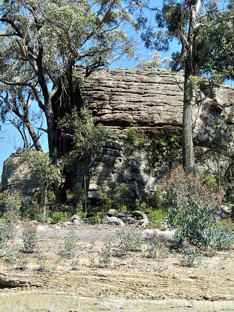
These are the beehive rock formations at Bulee Gap, between Sassafrass and Nerriga on the road inland from Nowra. I've seen the road referred to as the Nerriga Road, the Braidwood Road, the Turpentine Road, and Main Road 92. Whatever it's called, it's an important connection between the tablelands (and Canberra) and the coast, especially now that the section between Nerriga and Nowra is completely sealed. Parts of this road roughly follow the old 1840s and 50s convict-built Wool Road, used to transport the wool clip down to the coast. In the photo above, part of the Wool Road has been preserved underneath the recent bridge construction on the right.
Monday, September 19, 2011
Down the coast
If a Canberran tells you they're "heading down the coast for the weekend", odds are they're driving to Batemans Bay (or at least through it on the way slightly further north or south along the seafront). To get into the town from our direction, you need to cross the Clyde River, across this 55-year-old lifting span bridge. Prior to 1956, the only crossing was via a vehicle ferry - the only break in the Princes Highway between Sydney and the Victorian border.
The bridge is of an unusual type, where the whole centre span lifts vertically to allow access underneath by tall boats. In this second photo, you can see the two towers from which counter-weighted cables are suspended. The bridge is opened about 1000 times a year on demand (you need to give at least an hour's notice). There's a good photo of it in action here:
Labels:
Batemans Bay,
bridges
Friday, August 19, 2011
Roof terrace
If you keep walking straight ahead from yesterday's photo, you come to footbridge crossing Parkes Way. This is the view from the middle of the bridge looking back towards the city, with The Forum being the first building. From here you can see the umbrellas on the roof terrace. If you turn around and keep walking, you'll cross over to Commonwealth Park - in a month or so, watch out for photos of Floriade from this park.
Wednesday, April 13, 2011
Commonwealth Bridge
This is Commonwealth Bridge, which forms part of the axis from the city centre to Parliament House (you can see the huge flagpole of Parliament House in the distance).
There was originally a ford across the Molonglo River, replaced by timber bridges from 1916 onwards. The current bridge (the fourth) was built to cross Lake Burley Griffin, even before the lake was filled, and opened to traffic in 1963.
This photo was taken a while ago, and on a much nicer day. It's been cold and windy again - a foretaste of the winter to come, I think!
Labels:
bridges
Subscribe to:
Posts (Atom)


